
Simple ways to get away from the hustle of Silicon Valley…

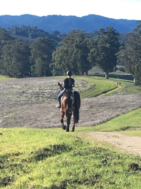
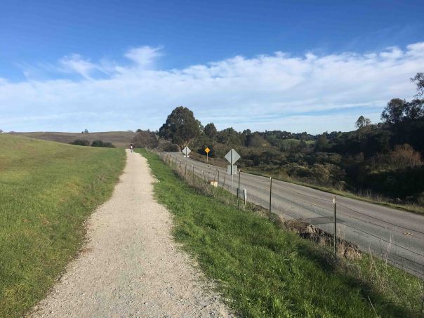
Only a short distance from the bustle of Silicon Valley life are the foothills of the San Francisco Peninsula. There are scenic trails galore for hikers, bicyclists and equestrians.
A helpful app to have is AllTrails which conveniently directs you to the trail heads, gives you a map and the elevation changes for each hike.
The rolling foothills around Palo Alto, which include nearby Los Altos, Stanford, and Portola Valley, transition gently into Palo Alto’s tech, residential areas and Stanford University giving the area special countryside feeling, made more complex and diverse with San Francisco Bay to the East.
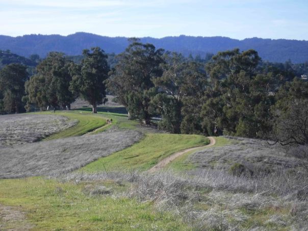
The hills are full of oak, eucalyptus, redwood and pine trees, as the landscape gently changes to dense forest, chaparral, to open meadows.
California is noted for being close to every type of natural beauty and Palo Alto’s central location is in the prime location for the moderate climate that the area is also noted for. San Francisco can move from foggy and gusty extremes while grand City of San Jose 15-20 miles to the south can experience slightly higher temperatures.
For an economical and simple way to experience the grandeur of the area, the Palo Alto area, with its smaller mid-Peninsula town feel, offers its natural balance.
Please like, share and comment, follow my blog or contact me if you have any questions
CKY

Copyright © 2019 Challen YeeAll Rights Reserved.
